
Trace a Milton Street
Milton address work begins with the current parcel, not a presumed household list. The Town of Milton links its Assessor's Property Records to the Patriot Properties database, while MapsOnline places the parcel in its physical setting. Together, they can supply an owner name, a situs address, a mailing address, and a parcel identifier. Those fields describe different things. A current owner may not occupy the property, and a mailing address may only show where tax correspondence goes. The address then becomes a bridge to the Norfolk deed index, a local voter-file request, permits, and historical street listings.
Use the same source order for every parcel on a street. It produces a clearer Milton street directory than mixing undated names from unrelated sources. Keep a separate note for owner, registered voter, applicant, and historic occupant. A missing name is not proof that a person was absent.
- Search the precise street number and street name in the assessor database. If it does not resolve, try the parcel ID or owner surname.
- Open the parcel in Milton MapsOnline, confirm the selected lot with Identify, and note adjoining parcels before treating a shared drive or rear lot as one address.
- Use the assessor owner and parcel details to search the Norfolk Registry research portal. Address results are most useful for later documents.
- Follow the seller in one deed as the buyer in the earlier transaction. Capture book/page, document date, legal description, and plan references as the title trail moves back.
- For a current registration question, use the state status tool for one person or contact the Milton Town Clerk for the lawful local list. For an older address, consult the library's historical street material.
Note: The evidence should remain role-specific, because a deed, a parcel card, and a local voter record do not establish the same fact.
Milton Street Parcel Searches
The official assessor link supports practical searches by owner name, property or street address, and parcel ID. Begin with a complete street suffix and try a surname variation if an owner search is narrow. The live vendor screen did not expose a verified advanced-search or ZIP filter during research, so a Milton street directory should not promise options that were not documented. A parcel card is useful for recording the indexed owner, situs, mailing address, assessment fields, property characteristics, possible exemptions, and any map or sketch link visible at the time of the search.
Milton's Assessor's Property Records is shown below as the official address and parcel starting point.
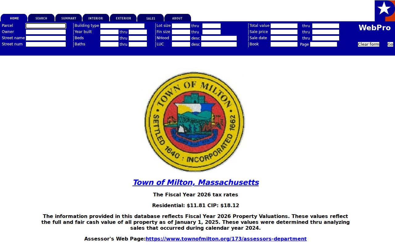
Read the resulting card as an assessment record. It can lead to a deed or map, but it does not list every person connected to the address.
- Parcel
- A locally identified piece of land used for assessment and mapping. It can differ from a familiar street-address label.
- Situs address
- The address where the land or building physically sits. It is distinct from the tax mailing address.
- Plat or plan
- A recorded map that can show lots, boundaries, or a subdivision reference used in a deed trail.
- Criss-cross directory
- A historical directory arranged by street and address rather than only by a person's name.
Milton Street GIS Layers
Milton's public mapper has operated since July 2016 and combines Assessing, DPW, Engineering, and Planning data with aerial imagery. Use Find Properties by owner's name, parcel ID, or address to reach the focal lot. Then use Identify to check returned attributes and Layers to control what is visible. The Find Abutters tool returns both a list and a map, with a default distance of zero and the option to choose another distance. This is a map-based way to walk a Milton street segment without claiming that nearby parcel owners are residents.
The Town's GIS information page explains the public mapper and its municipal data sources.

Use the map to verify parcel placement and adjacency. A legally usable abutters list still requires the Assessor's certified form.
| MapsOnline control | Street research use |
|---|---|
| Owner's Name | Zoom to a parcel when the assessor owner is known. |
| Parcel ID | Return to a specific assessed lot after recording its identifier. |
| Address | Find a situs address with street number and street name. |
| Find Abutters | Map and list parcels around the focal property at zero or a chosen distance. |
| Identify | Click a parcel or visible layer for its attributes. |
Milton Street Record Types
Address-keyed sources answer different questions along the same Milton street. The assessor and map identify the parcel and current assessment relationship. The Registry preserves the land-document trail. The Clerk's annual listing and local voter-file process concern registered voters and census information, subject to protected categories. Permit material can date work at an address. Historical directories can place an occupant or business on the street in a particular period. Keeping the access route beside each result prevents an owner from being mislabeled as an occupant.
| Milton street record | Keeper | What it can show | Access route |
|---|---|---|---|
| Assessor parcel card | Milton Board of Assessors | Owner, situs, mailing, value, parcel, and characteristics | Free portal or office/request fallback |
| GIS parcel | Milton GIS / MapsOnline | Geometry, abutters, layers, aerial view, and map attributes | Public map; certified abutters need Assessor action |
| Deed and index | Norfolk Registry of Deeds | Parties, instrument, date, book/page, image, and legal description | Free research and marked image; clean or certified copies have fees |
| Land Court certificate | Norfolk Land Court District | Certificate, owner, encumbrances, plans, and related documents | Separate land-system search |
| Voter or street listing | Milton Town Clerk | Permitted local voter fields and annual census/street-listing information | Local request; confidential voters are absent |
| Permit record | Milton Engineering / Inspectional Services | Address, applicant, work, status, or date if a public record supplies it | PermitEyes or department-contact fallback |
Milton Treasurer or Assessor staff are the fallback for a parcel or tax record when no public tax-roll search is linked. The Library and archives become the fallback for historic street pages rather than a modern web search.
Milton Deed Address History
The Norfolk Registry has recorded-land index and image coverage from 1793. Its combined address search is helpful, but property addresses were entered on applicable documents from 2003, making earlier address listings very limited. Search an early address through the current owner, a deed book/page, the legal description, plans, and grantor-grantee names. Enter people last name first, use fewer characters to broaden a result, and try an asterisk for spelling variants. Remove titles and avoid letting a middle initial create a false no-match.
The Norfolk land-record research gateway separates Registry Records from Land Court Records, so search both when the first system produces no match.
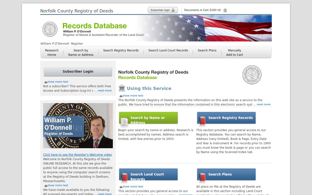
The index result is a route into a document, not a full household roll. Its parties and legal description are the key pieces for a defensible address chain.
Note: Free online document images are marked “Not An Official Copy,” while the Registry describes separate clean-image and certified-copy options.
Milton Land Court Addresses
Norfolk land research uses two systems. Recorded Land is the book-and-page system and represents about 80 percent of county land. Registered Land, also called the local Land Court or Torrens system, represents about 20 percent. Norfolk's local registered system began in 1901, and its online registered indexes currently begin in 1973. A parcel can touch both systems. Treat the systems as separate evidence rather than assuming duplicate or missing results when a search is quiet.
Norfolk Registry of Deeds provides the customer-service route for research questions and documents its Dedham public-research location.
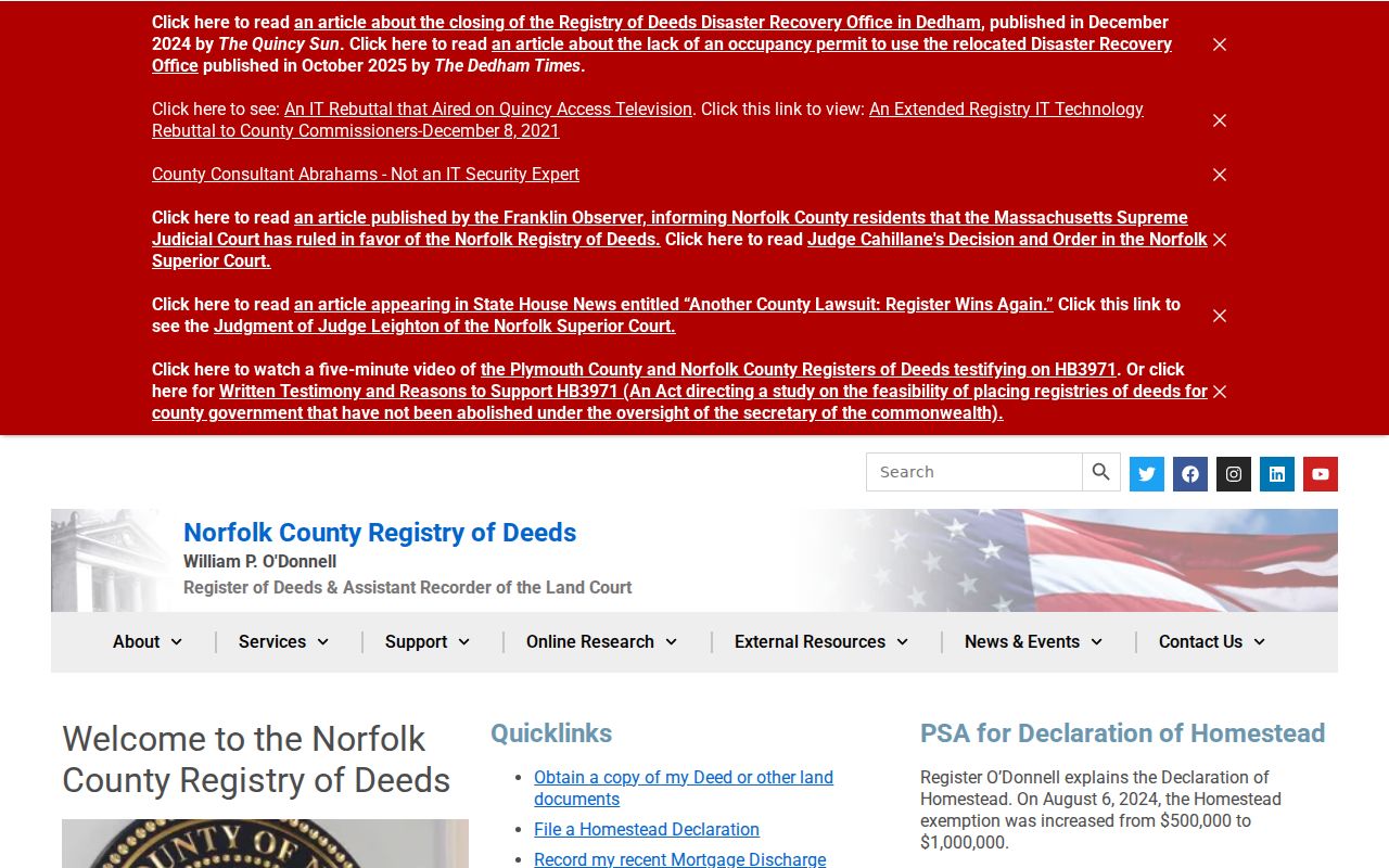
For registered land, find the certificate number from the owner search, then examine the certificate and current encumbrance list. The older scan alone may not be complete.
Milton Street Permit Trail
Permits are dates and project records, not proof that an applicant lived at an address. Milton Engineering moved permit processing to PermitEyes on October 1, 2023. Newer work may be encountered through that account-based system, while the public research did not confirm a complete historical result screen. When a visible entry gives an address, permit number, work category, applicant, status, and date, preserve those exact fields. For older files or an unavailable online result, ask the responsible town office about the record rather than filling the gap from a map label.
The Town's permit and regulations information identifies the PermitEyes transition and the department route. Combine a permit date with the parcel and deed trail only after each reference points to the same premises.
Milton Address Numbering
Milton's 1906 directory warned that streets were soon to be numbered. Earlier entries can therefore describe a place as near, opposite, or at a corner instead of giving a modern number. The bridge to a present address may require the 1896 or 1905 atlas, the 1906 directory map, Sanborn sheets, a Registry plan, and a later directory. Preserve the original wording in one field and place any modern interpretation in a separate field. That preserves uncertainty rather than turning a historical landmark description into a false exact address.
Neighborhood labels can help with this work. Milton Centre, Milton Hill, Brush Hill, Scott's Woods, Railway Village or East Milton, and Milton Village may be geographic clues rather than a formal parcel or postal identifier. Dorchester and Hyde Park connections add another reason to check the date and map before normalizing an address.
The map sequence matters because a road may predate its number, a parcel may have been split, and a deed may describe a lot rather than the present street frontage. The Milton Public Library's local-history holdings include 1896 and 1905 atlases and Sanborn material from 1901 through 1949. Use those sources to document the bridge, then retain both the historical description and the modern research key in the working notes.
Milton Street Directory History
A historical street list can place occupants, boarders, businesses, and landmarks in a time that a current parcel card cannot reach. The 1906 printed directory includes both resident entries and a street list, but its descriptive addresses need cross-checking against the alphabetical section. Milton Public Library holds local-history materials, newspaper microfilm, maps, and atlases, while the State Library and National Archives preserve selected directory runs. The library's materials are especially useful when a name, street spelling, or neighborhood label has changed.
Historical directories deserve their own close reading because abbreviations and householder marks can change an entry's meaning. The local collections and their year runs are described on the Milton City Directories page, where the historical shelf is the main focus.
Note: A directory entry establishes a dated reference to an occupant or business, not a continuing record of everyone at that address.
Milton Street Privacy Limits
A Milton street directory cannot supply every person connected to every house. Public records may omit visitors, people with no recorded property connection, and people not named in a filing. Massachusetts confidential-voter and Address Confidentiality Program participants are deliberately protected. RMV information, utility customer data, and protected court material are not an ordinary street-search result. A local voter list can identify specified public fields, but it does not reveal ballot choices and it should not be treated as a household census.
Milton's Town Clerk is the Records Access Officer when a narrow, identifiable local public record needs a formal request under the Massachusetts Public Records Law, M.G.L. c. 66, § 10 and 950 CMR 32.00. Ask for the record type, time period, and permitted fields. That is more reliable than treating a broad address search as conclusive.
Lawful use. Milton address records support personal, lawful research and careful historical work. Never use names, addresses, or map results to stalk, harass, intimidate, or harm another person.